Thermographic inspections from above — fast and safe. Cover large surfaces in minutes with the precision of FLIR thermography integrated on a professional drone.
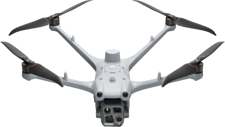
ThermoSpot® Fly brings industrial thermography to aerial inspections. The system integrates FLIR radiometric cameras on a professional drone, enabling thermographic surveys of large surfaces, elevated structures and inaccessible areas quickly and safely.
Thermal images captured during flight are processed with ThermoSpot® Analyzer to produce georeferenced thermal maps, automatic reports and to precisely identify detected anomalies. Particularly suited for inspections of photovoltaic plants, power lines, industrial roofs and security perimeters.
Operations are carried out by certified pilots in compliance with applicable regulations, ensuring operational safety and regulatory compliance in every application context.
| Platform | Professional multi-rotor drone |
| Flight time | Up to 35 minutes per charge |
| Wind resistance | Up to 12 m/s |
| Regulation | ENAC compliant, OPEN/SPECIFIC operations |
| Pilots | A1/A3 or STS-01/02 certified |
| IR sensor | FLIR radiometric camera |
| Thermal resolution | NETD <50 mK |
| Output | Radiometric images .RJPEG / .SEQ |
| Georeferencing | GPS integrated on every frame |
| Processing | ThermoSpot® Analyzer |